Légende
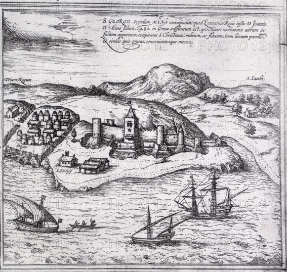
Map of Mina (or Myna), West Africa, 1572. A walled town and surrounding villages, with ships off the coast.
Date
1572
Crédit
Photo12/Heritage Images/Heritage Art
Notre référence
HRM25A14_169
Model release
NA
Property release
NA
Licence
Droits gérés
Format disponible
49.9Mo (6.2Mo) / 36.4cm x 34.4cm / 4295 x 4064 (300dpi)