Sujet
Atlas of the Yakut ASSR (Autonomous Soviet Socialist Republic). Socialist Yakutia, 1982. Creator: Soviet Union. Glavnoe upravlenie geodezii i kartografii.
Légende
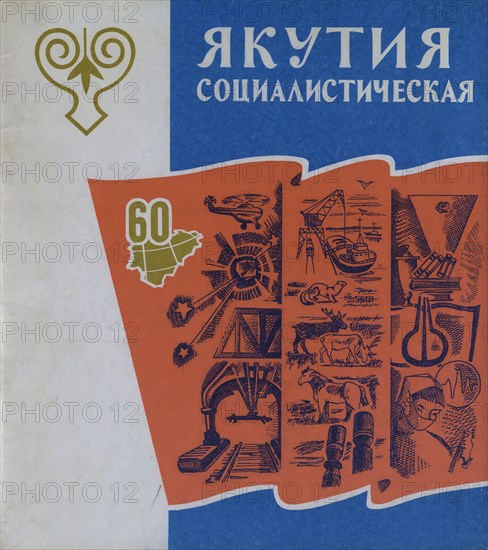
Atlas of the Yakut ASSR (Autonomous Soviet Socialist Republic). Socialist Yakutia, 1982. This atlas was published in 1982 for the commemoration of the 60th anniversary of the formation of the Soviet Union in 1922, of which Yakutia (also seen as Yakutiya and Sakha) was a constituent part from the beginning. The volume thus also served to commemorate the 60th anniversary of the formation of the Yakut Autonomous Soviet Socialist Republic (Yakut ASSR). The ancestral homeland of the Yakut people, this extensive region in northeastern Siberia stretches into the Arctic. The book covers the establishment of Soviet power in the region in the early 1920s and offers a basic geography of the area. It also presents a range of tables on such topics as the local economy, natural resources, levels of education, health care, scientific achievements, local sports, and tourism. A table of contents and a legend for symbols used in the maps is found at the end of the volume. The atlas contains a section on the political exile of several future Soviet leaders (referred to in the text as "Bolshevik-Leninists".
Crédit
Photo12/Heritage Images/Heritage Art
Notre référence
HRM24A00_078
Model release
NA
Property release
NA
Licence
Droits gérés
Format disponible
34.7Mo (2.2Mo) / 27.8cm x 31.3cm / 3282 x 3692 (300dpi)