Sujet
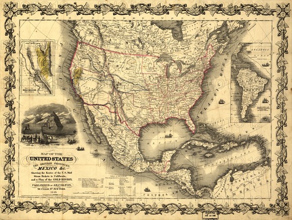
Map of the United States, the British provinces, Mexico &c., 1849. Creator: John M. Atwood.
Légende
Map of the United States, the British provinces, Mexico &c., 1849. Shows California's gold region and western trails. Includes illustration of "Pyramid Lake, Upper California" and distance table.
Crédit
Photo12/Heritage Images/Heritage Art
Notre référence
HRM24A00_006
Model release
NA
Property release
NA
Licence
Droits gérés
Format disponible
121.0Mo (13.0Mo) / 63.4cm x 47.8cm / 7487 x 5647 (300dpi)