Sujet
Map of the District of Columbia, 1861. Creator: Theodor Ettling.
Légende
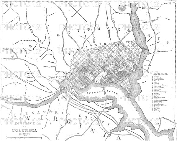
Map of the District of Columbia, 1861. The American Civil War. Map showing Washington, D.C. and principal buildings; the River Potomac; Alexandria County, Virginia and the Chesapeake and Ohio Canal.
Crédit
Photo12/Heritage Images/The Print Collector
Notre référence
HRM23B24_156
Model release
NA
Property release
NA
Licence
Droits gérés
Format disponible
32.8Mo (1.8Mo) / 32.1cm x 25.6cm / 3786 x 3024 (300dpi)