Sujet
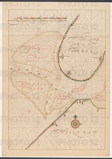
Map of a part of the head of North Holland, c.1620-c.1699. Creator: Anon.
Légende
Map of a part of the head of North Holland, southern Texel and the surrounding sandbanks, c.1620-c.1699.
Crédit
Photo12/Heritage Images/Heritage Art
Notre référence
HRM23A86_473
Model release
NA
Property release
NA
Licence
Droits gérés
Format disponible
96.7Mo (5.9Mo) / 41.2cm x 58.8cm / 4872 x 6940 (300dpi)