Sujet
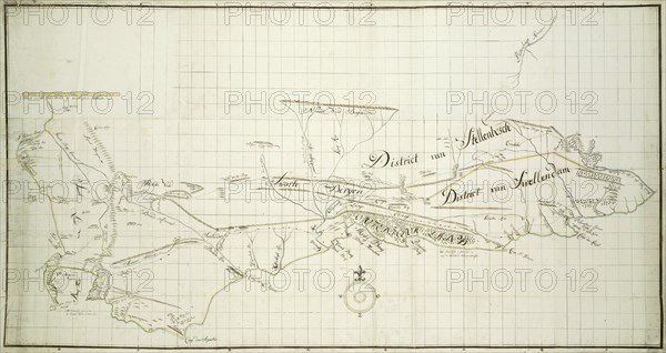
Map of the Southern part of the Cape from St Helena Bay to the Great Fish River, c.1777-1786. Creators: Robert Jacob Gordon, Johannes Schumacher.
Légende
Map of the Southern part of the Cape from St Helena Bay to the Great Fish River, c.1777-1786.
Crédit
Photo12/Heritage Images/Heritage Art
Notre référence
HRM23A86_222
Model release
NA
Property release
NA
Licence
Droits gérés
Format disponible
24.3Mo (1.4Mo) / 33.9cm x 18.0cm / 4000 x 2124 (300dpi)