Sujet
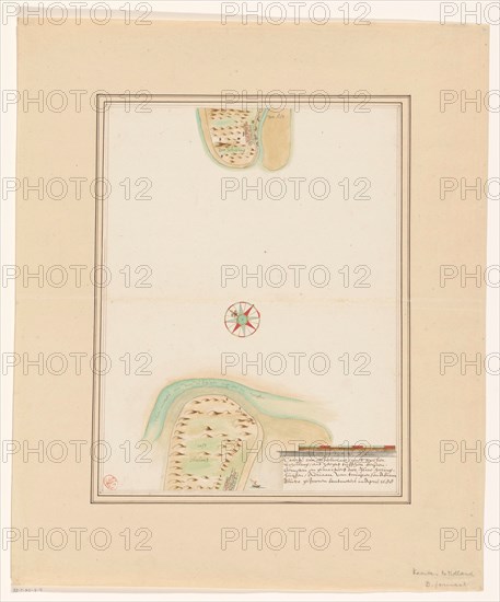
Map of East-Vlieland and West-Terschelling, 1688 or later. Creator: Anon.
Légende
Map of East-Vlieland and West-Terschelling, 1688 or later. At the bottom right the title with a scale of 900 Rijnlantse rods above it.
Crédit
Photo12/Heritage Images/Heritage Art
Notre référence
HRM23A84_419
Model release
NA
Property release
NA
Licence
Droits gérés
Format disponible
68.3Mo (2.1Mo) / 37.7cm x 45.4cm / 4456 x 5360 (300dpi)