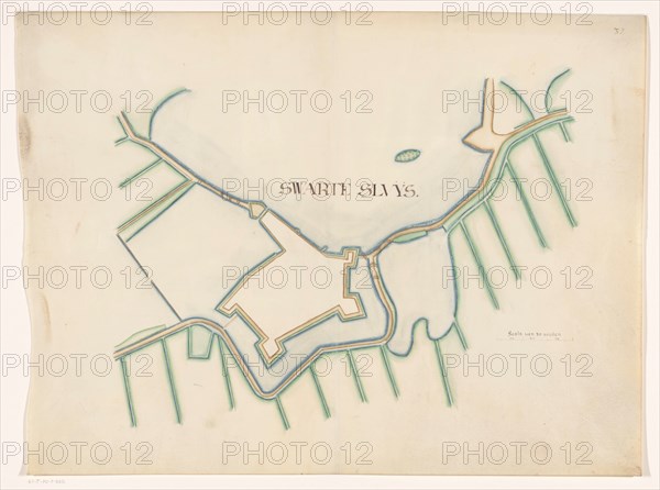
Sujet
Map of Zwartsluis Fortification, c.1650-c.1799. Creator: Anon.
Légende
Map of Zwartsluis Fortification, c.1650-c.1799. On the right a scale: range of 30 rods.
Crédit
Photo12/Heritage Images/Heritage Art
Notre référence
HRM23A84_411
Model release
NA
Property release
NA
Licence
Droits gérés
Format disponible
71.1Mo (2.1Mo) / 48.9cm x 36.4cm / 5776 x 4302 (300dpi)