Sujet
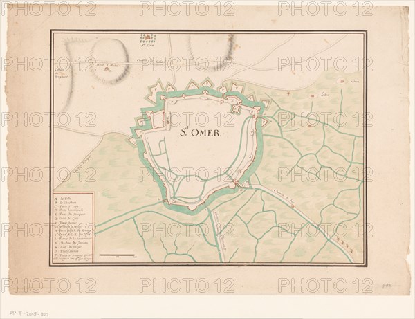
Map of Sint-Omaars, 1650-1700. Creator: Anon.
Légende
Map of Sint-Omaars, 1650-1700.
Crédit
Photo12/Heritage Images/Heritage Art
Notre référence
HRM23A84_392
Model release
NA
Property release
NA
Licence
Droits gérés
Format disponible
94.3Mo (4.8Mo) / 55.4cm x 42.6cm / 6546 x 5036 (300dpi)