Sujet
Map of the Frontiers of Austria & Russia, 1856. Creator: Unknown.
Légende
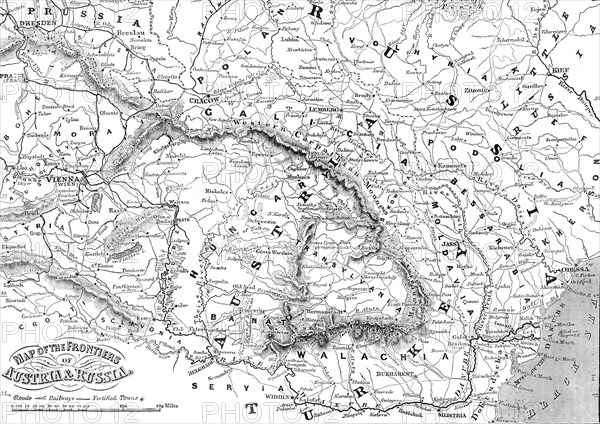
Map of the Frontiers of Austria & Russia, 1856. Map showing the area involved in the Crimean War: Black Sea, Transylvania, Hungary, Poland, Turkey, Odessa, Kiev, Bessarabia, Galicia, the Western Carpathian Mountains. From "Illustrated London News", 1856.
Crédit
Photo12/Heritage Images
Notre référence
HRM23A56_482
Model release
NA
Property release
NA
Licence
Droits gérés
Format disponible
62.6Mo (4.5Mo) / 47.1cm x 33.3cm / 5561 x 3932 (300dpi)