Sujet
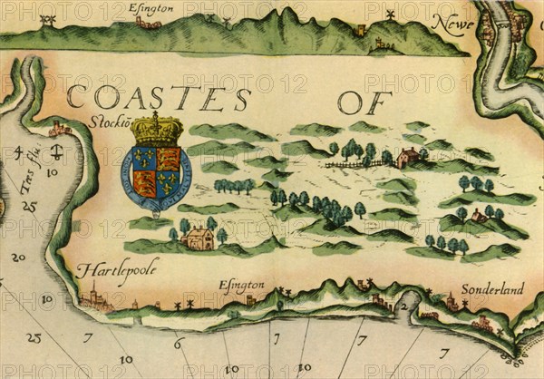
Chart showing windmills as landmarks on the north-east coast of England, 1588, (1947). Creator: Unknown.
Légende
Chart showing windmills as landmarks on the north-east coast of England, 1588, (1947). Places marked include Hartlepool, Easington and Sunderland. Detail from "The Mariner's Mirrour" by Anthony Ashley, an English translation of the world's first sea-atlas by Lucas Janszoon Waghenaer. From "British Windmills and Watermills', by C. P. Skilton. [Collins, London, 1947]
Crédit
Photo12/Heritage Images/The Print Collector
Notre référence
HRM19G33_208
Model release
NA
Property release
NA
Licence
Droits gérés
Format disponible
58.6Mo (2.7Mo) / 45.9cm x 32.0cm / 5416 x 3780 (300dpi)