Sujet
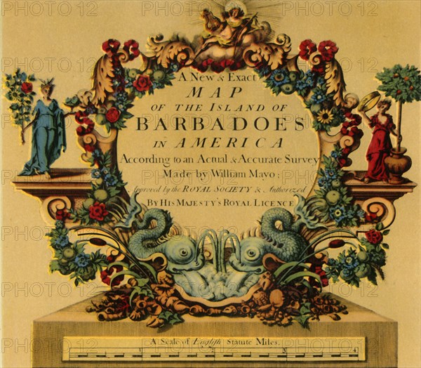
'Cartouche on W. Mayo's Map of Barbados, 1722', (1944). Creator: William Mayo.
Légende
'Cartouche on W. Mayo's Map of Barbados, 1722', (1944). 'A New & Exact Map of the Island of Barbadoes in America. According to an Actual & Accurate Survey. Made by William Mayo; Approved by the Royal Society & Authorized by His Majesty's Royal Licence'. Inscription with stylised floral decoration including dolphins. Map in the King's Topographical Collection, the first large-scale survey of the island carried out by civil engineer and cartographer William Mayo, in the British Library, London. From "British Maps and Map-Makers", by Edward Lynam. [Collins, London, 1944]
Crédit
Photo12/Heritage Images/The Print Collector
Notre référence
HRM19G32_475
Model release
NA
Property release
NA
Licence
Droits gérés
Format disponible
60,9Mo (3,3Mo) / 41,8cm x 36,5cm / 4935 x 4312 (300dpi)