Sujet
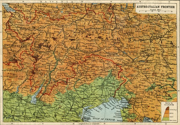
Map of the Austro-Italian frontier, First World War, (c1920). Creator: John Bartholomew & Son.
Légende
Map of the Austro-Italian frontier, First World War, (c1920). Mountainous area between Salzburg, Trieste and Cremona, showing the Tyrol. From "The Great World War - A History" Volume III, edited by Frank A Mumby. [The Gresham Publishing Company Ltd, London, c1920]
Date
1915
Crédit
Photo12/Heritage Images/The Print Collector
Notre référence
HRM19F26_049
Model release
NA
Property release
NA
Licence
Droits gérés
Format disponible
62.6Mo (8.7Mo) / 47.5cm x 33.0cm / 5607 x 3901 (300dpi)