Sujet
Map To Illustrate the Eastern Battle Fronts', 1919.
Légende
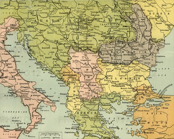
'Map To Illustrate the Eastern Battle Fronts', 1919. Map showing areas of eastern Europe and the Balkans which saw fighting during the First World War, 1914-1919, including Italy, Austria-Hungary, Albania, Montenegro, Greece, Serbia, Bulgaria, Romania, and parts of Russia and Turkey. From "The History of the Great European War: its causes and effects", Vol. V, by W. Stanley Macbean Knight. [Caxton Pulishing Company, Limited, London, 1919]
Date
1919
Crédit
Photo12/Heritage Images/The Print Collector
Notre référence
HRM19F15_278
Model release
Non
Licence
Droits gérés
Format disponible
59.7Mo (6.6Mo) / 43.2cm x 34.6cm / 5106 x 4086 (300dpi)