Sujet
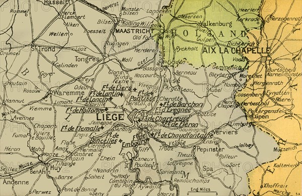
Map Showing the Forts of Liège', 1919.
Légende
'Map Showing the Forts of Liège', 1919. Forts in Belgium during the First World War, 1914-1919. From "The History of the Great European War: its causes and effects", Vol. II, by W. Stanley Macbean Knight. [Caxton Pulishing Company, Limited, London, 1919]
Date
1919
Crédit
Photo12/Heritage Images/The Print Collector
Notre référence
HRM19F15_103
Model release
Non
Licence
Droits gérés
Format disponible
62.1Mo (4.9Mo) / 48.9cm x 31.8cm / 5775 x 3756 (300dpi)