Sujet
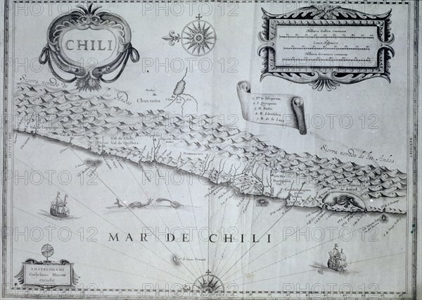
Map of Chile of the 17th century according to Guiljelmus Blaeuw.
Légende
Map of Chile of the 17th century according to Guiljelmus Blaeuw.
Crédit
Photo12/Heritage Images/Index
Notre référence
HRM19E92_258
Model release
Non
Licence
Droits gérés
Format disponible
61.2Mo (5.9Mo) / 46.4cm x 33.0cm / 5484 x 3898 (300dpi)