Sujet
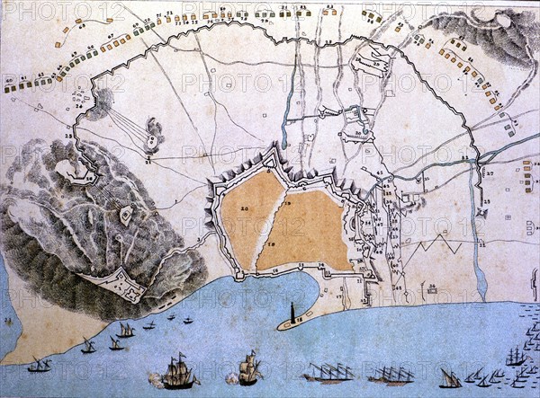
Map of the city of Barcelona during the siege of Philip V in 1714.
Légende
Map of the city of Barcelona during the siege of Philip V in 1714.
Crédit
Photo12/Heritage Images/Index
Notre référence
HRM19E84_227
Model release
Non
Licence
Droits gérés
Format disponible
50.7Mo (5.8Mo) / 41.5cm x 30.6cm / 4900 x 3620 (300dpi)