Sujet
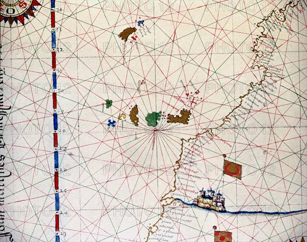
Atlas of Joan Martines, Messina, 1582. Portulan chart of the Canary Islands and the west coast of?
Légende
Atlas of Joan Martines, Messina, 1582. Portulan chart of the Canary Islands and the west coast of the African Continent.
Crédit
Photo12/Heritage Images/Index
Notre référence
HRM19E81_385
Model release
Non
Licence
Droits gérés
Format disponible
57,0Mo (5,6Mo) / 42,5cm x 33,6cm / 5025 x 3963 (300dpi)