Sujet
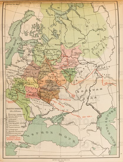
Map of the volosts and principalities in the 12th and 13th century, 1914.
Légende
Map of the volosts and principalities in the 12th and 13th century, 1914. Private Collection.
Date
30 nov. 1999
Crédit
Photo12/Heritage Images/Fine Art Images
Notre référence
HRM19E56_477
Model release
Non
Licence
Droits gérés
Format disponible
69.9Mo (4.3Mo) / 36.5cm x 48.0cm / 4312 x 5669 (300dpi)