Sujet
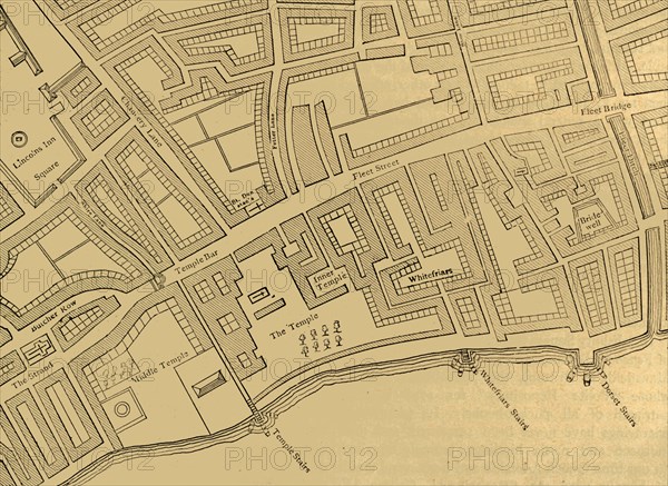
'Fleet Street, The Temple, Etc., From a Map of London, Published 1720', (1897). Creator: Unknown.
Légende
'Fleet Street, The Temple, Etc., From a Map of London, Published 1720', (1897). Map showing the Inns of Court at Temple and Lincoln's Inn, Whitefriars, the River Fleet, Bridewell, and stairs down to the River Thames. From Old and New London, Volume I, by Walter Thornbury. [Cassell and Company, Limited, London, Paris & Melbourne, 1897]
The Print Collector collection
Date
1897
Crédit
Photo12/Heritage Images/The Print Collector
Notre référence
HRM19D50_011
Model release
Non
Licence
Droits gérés
Format disponible
57.5Mo (3.5Mo) / 44.5cm x 32.4cm / 5250 x 3825 (300dpi)