Sujet
Map of Europe, 1821. Creator: Unknown.
Légende
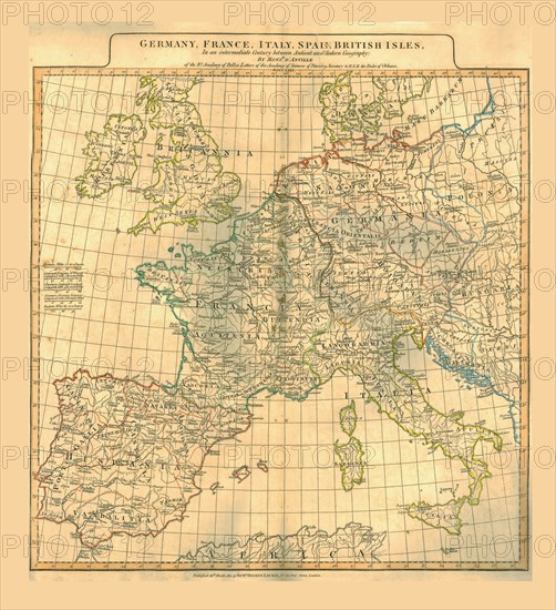
Map of Europe, 1821. Map showing Germany, France, Italy, Spain and the British Isles 'in an intermediate Century between Antient and Modern Geography'. 19th century map with Latin place names, possibly after an earlier version by French geographer and cartographer Jean Baptiste Bourguignon d'Anville (1697-1782). Published 26 March 1821.
The Print Collector collection
Date
1821
Crédit
Photo12/Heritage Images/The Print Collector
Notre référence
HRM19D49_344
Model release
Non
Licence
Droits gérés
Format disponible
47.6Mo (5.1Mo) / 33.0cm x 36.1cm / 3900 x 4266 (300dpi)