Sujet
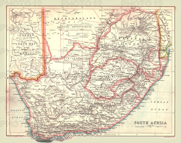
Map of South Africa, 1902. Creator: Unknown.
Légende
Map of South Africa, 1902. Showing the Cape Colony, Transvaal, Orange River Colony, and other colonial possessions including the British Protectorate of Bechuanaland, German South West Africa, From The Century Atlas of the World. [John Walker & Co, Ltd., London, 1902]
The Print Collector collection
Date
1902
Crédit
Photo12/Heritage Images/The Print Collector
Notre référence
HRM19D49_037
Model release
Non
Licence
Droits gérés
Format disponible
47.2Mo (4.8Mo) / 38.6cm x 30.6cm / 4560 x 3619 (300dpi)