Sujet
Physical Map of the British Isles, 1902. Creator: Unknown.
Légende
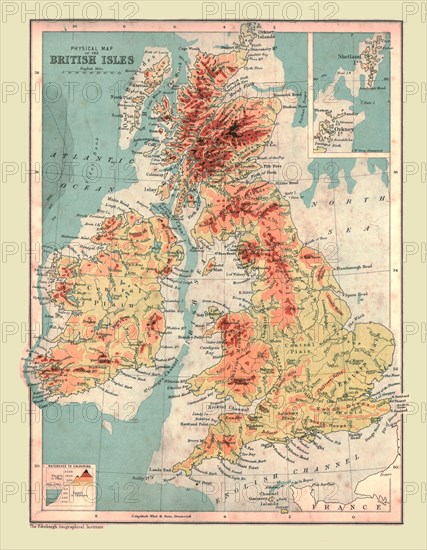
Physical Map of the British Isles, 1902. Highest points shown in red. From The Century Atlas of the World. [John Walker & Co, Ltd., London, 1902]
The Print Collector collection
Date
1902
Crédit
Photo12/Heritage Images/The Print Collector
Notre référence
HRM19D48_426
Model release
Non
Licence
Droits gérés
Format disponible
47.7Mo (3.8Mo) / 30.5cm x 39.2cm / 3600 x 4627 (300dpi)