Sujet
Chart of the North Atlantic, 1902. Creator: Unknown.
Légende
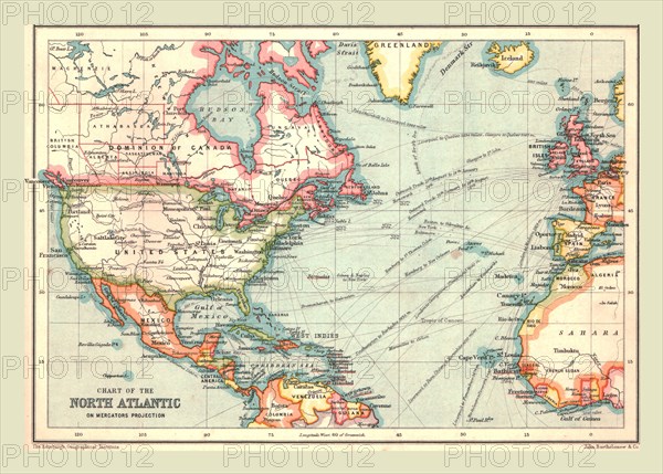
Chart of the North Atlantic, 1902. Showing North and Central America, West Africa and Western Europe, and transatlantic shipping routes. From The Century Atlas of the World. [John Walker & Co, Ltd., London, 1902]
The Print Collector collection
Date
1902
Crédit
Photo12/Heritage Images/The Print Collector
Notre référence
HRM19D48_018
Model release
Non
Licence
Droits gérés
Format disponible
47.2Mo (4.6Mo) / 40.6cm x 29.1cm / 4800 x 3439 (300dpi)