Sujet
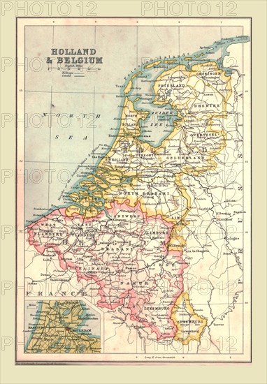
Map of Holland and Belgium, 1902. Creator: Unknown.
Légende
Map of Holland and Belgium, 1902. Showing the North Sea, and inset of Amsterdam. From The Century Atlas of the World. [John Walker & Co, Ltd., London, 1902]
The Print Collector collection
Date
1902
Crédit
Photo12/Heritage Images/The Print Collector
Notre référence
HRM19D46_347
Model release
Non
Licence
Droits gérés
Format disponible
47.0Mo (3.8Mo) / 28.6cm x 41.2cm / 3380 x 4865 (300dpi)