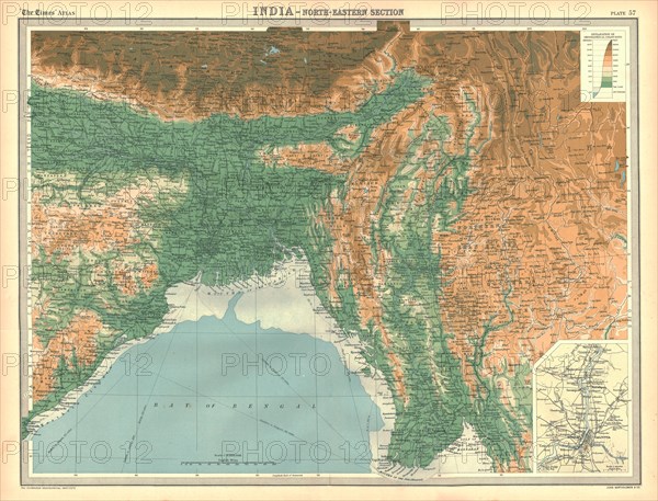
Sujet
Geographical map of the north-eastern section of India, early 20th century. Artist: Unknown.
Légende
Geographical map of the north-eastern section of India, early 20th century. Pre-partition map showing the Bay of Bengal and the Ganges Delta, and what are now Bangladesh and Myanmar. Plate 57 from The Times Atlas.
The Print Collector collection
Date
1900
Crédit
Photo12/Heritage Images/The Print Collector
Notre référence
HRM19D45_074
Model release
Non
Licence
Droits gérés
Format disponible
47.1Mo (6.0Mo) / 39.4cm x 30.0cm / 4650 x 3544 (300dpi)