Sujet
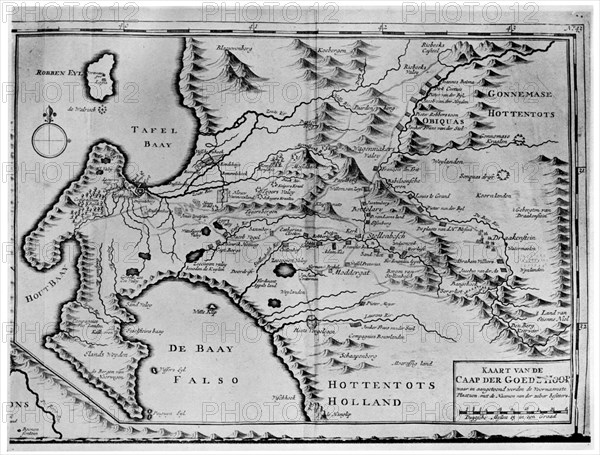
A map of the Cape of Good Hope in the time of the van der Stels, South Africa, 18th century (1931). Artist: Unknown
Légende
A map of the Cape of Good Hope in the time of the van der Stels, South Africa, 18th century (1931).
The Print Collector collection
Date
1931
Crédit
Photo12/Heritage Images/The Print Collector
Notre référence
HRM19C47_386
Model release
Non
Licence
Droits gérés
Format disponible
50.0Mo (2.7Mo) / 40.6cm x 30.9cm / 4799 x 3645 (300dpi)