Sujet
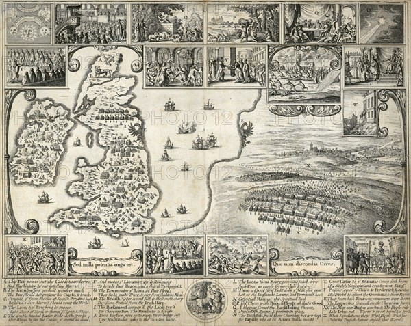
Map of the British Isles and illustrations of 17th century historical events, c1659
Légende
Map of the British Isles and illustrations of 17th century historical events, c1659. The large scene depicts the Battle of the White Mountain in Bohemia in 1620 in the the early stages of the Thirty Years War. The smaller compare the events of the English and Bohemian civil wars. From the Mayson Beeton Collection.
Date
1640
Crédit
Photo12/Heritage Images/Historic England Archive
Notre référence
HRM19B39_467
Model release
Non
Licence
Droits gérés
Format disponible
50,0Mo (5,5Mo) / 39,7cm x 31,6cm / 4686 x 3731 (300dpi)