Sujet
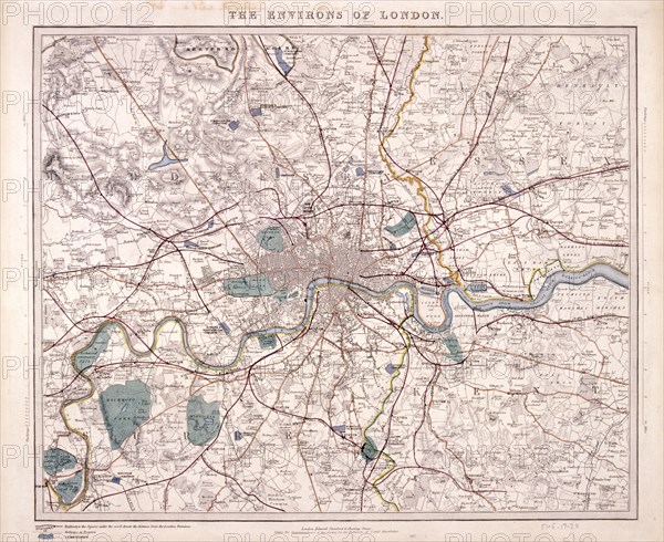
Map of London, c1860. Artist: Benjamin Rees Davies
Légende
Map of London and surrounding counties along the River Thames from Thames Ditton to Erith, with railway stations marked and the cemeteries coloured in grey.
Date
1860
Crédit
Photo12/Heritage Images/City of London : The London Archives
Notre référence
HRM19B03_292
Model release
NA
Property release
NA
Licence
Droits gérés
Format disponible
49.9Mo (3.9Mo) / 39.1cm x 32.0cm / 4617 x 3776 (300dpi)