Sujet
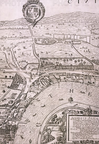
Map of London, 1560. Artist: George Vertue
Légende
Map of London in the year 1560; showing the area between Westminster and the Strand, with Lambeth to the south of the River Thames and the Tudor royal arms at the top.
Date
1737
Crédit
Photo12/Heritage Images/City of London : The London Archives
Notre référence
HRM19A76_239
Model release
NA
Property release
NA
Licence
Droits gérés
Format disponible
50,0Mo (4,5Mo) / 29,3cm x 42,7cm / 3461 x 5047 (300dpi)