Légende
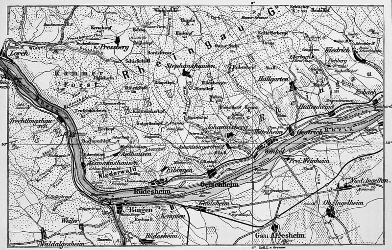
Topographic map of the Rheingau, viticulture, wine villages Rüdesheim, Oestrich, roads and railway lines, travel, Hesse and Rhineland-Palatinate, Germany, historical illustration 1885
Crédit
Photo12/ImageBROKER/Wolfgang Diederich
Notre référence
BRK26J98_136
Model release
Non
Property release
Non
Licence
Droits gérés
Format disponible
84.5Mo (28.2Mo) / 57.6cm x 36.7cm / 6806 x 4338 (300dpi)