Légende
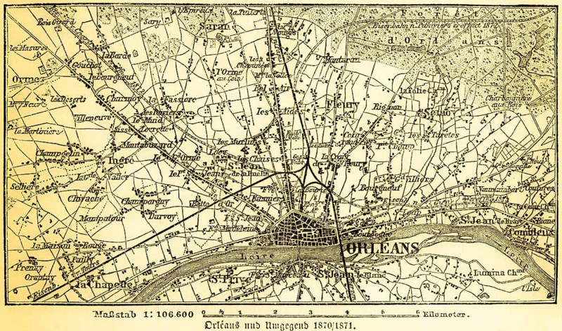
Plan of the city and surrounding area of Orleans on the Loire in 1870-71, France, roads, villages, railroad, forest, scale in kilometers, map with lettering, title, topography, geography, historical illustration 1885
Date
26 avr. 2026
Crédit
Photo12/ImageBROKER/Wolfgang Diederich
Notre référence
BRK26H24_367
Model release
Non
Property release
Non
Licence
Libre de droits
Format disponible
87.2Mo (29.1Mo) / 60.9cm x 35.9cm / 7192 x 4238 (300dpi)