Légende
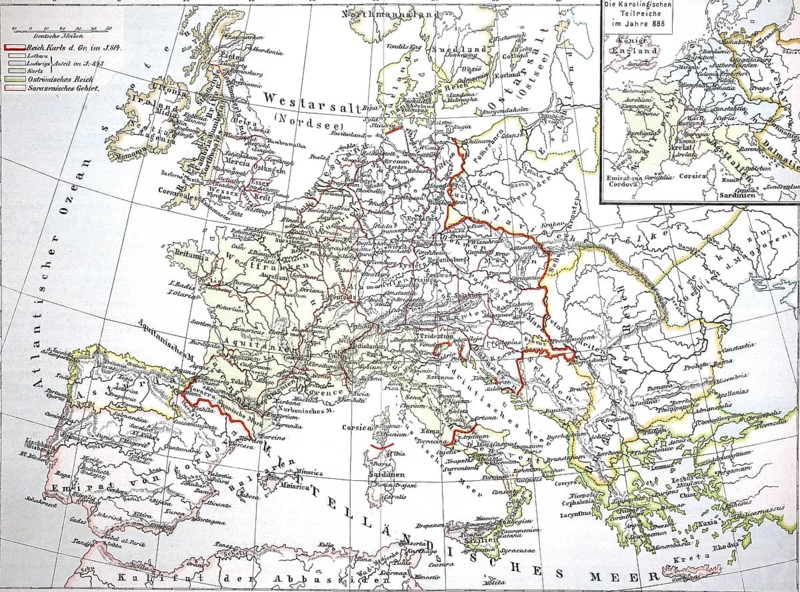
Map from 1890, Europe at the time of the Carolingians, Charlemagne's empire, illustration, reproduction from a model from the 19th century. Authentic, file restored for optimal use, exact date of submission unknown, historical, historical map of Europe with detailed borders and geographical details
Date
16 mars 2026
Crédit
Photo12/ImageBROKER/Sunny Celeste
Notre référence
BRK26H04_367
Model release
Non
Property release
Non
Licence
Libre de droits
Format disponible
112.3Mo (37.4Mo) / 61.6cm x 45.7cm / 7280 x 5392 (300dpi)