Légende
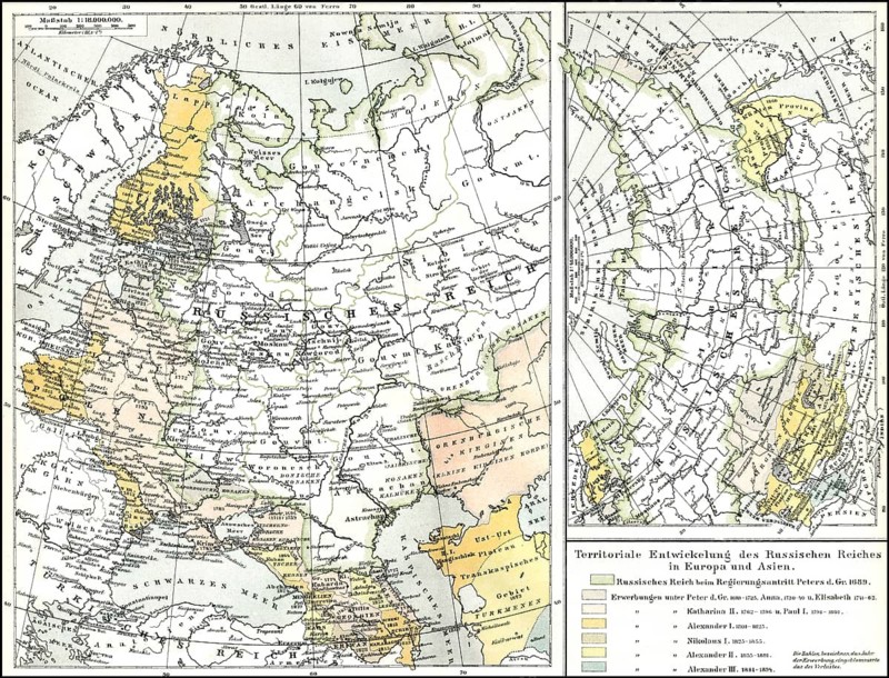
Historical map of territories of Russia, 19th Century, historischer Karte aus dem 19. Jahrhundert, die territoriale Entwicklung von Russland ab dem 17. Jahrhundert
Date
20 nov. 2013
Crédit
Photo12/ImageBROKER/Heinz-Dieter Falkenstein
Notre référence
BRK26G17_433
Model release
Non
Property release
Non
Licence
Droits gérés
Format disponible
99.9Mo (33.3Mo) / 57.3cm x 43.7cm / 6766 x 5159 (300dpi)