Légende
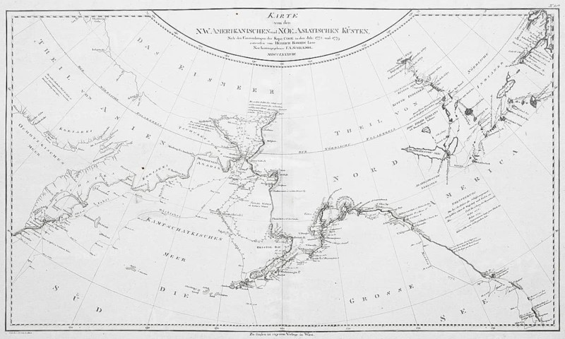
Map of the Northwest American and Northeast Asian coasts according to Captain Cook's investigations in 1778 and 1779, by Franz Anton Schrämbl or Schrämbl
Date
20 mars 2026
Crédit
Photo12/ImageBROKER/Olaf Krüger
Notre référence
BRK26E50_112
Model release
Non
Property release
Non
Licence
Libre de droits
Format disponible
50.3Mo (16.8Mo) / 45.8cm x 27.5cm / 5409 x 3249 (300dpi)