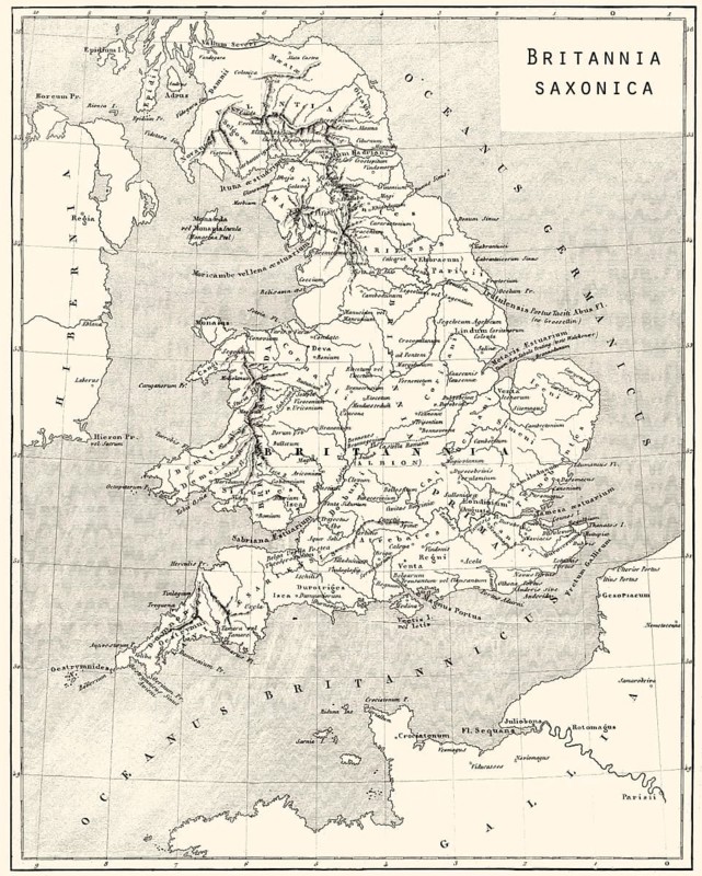
Karte des alten angelsächsischen Britanniens
Légende

Karte des alten angelsächsischen Britanniens

Date

24 mai 2016

Crédit

Photo12/imageBROKER/Heinz-Dieter Falkenstein

Notre référence

BRK26D40_248

Model release

Non

Property release

Non

Licence

Droits gérés

Format disponible

123.6Mo (10.1Mo) / 49.8cm x 62.2cm / 5882 x 7344 (300dpi)

Mots clés

deserted building history drawing museum building museum telephone communication navigation system Europe illustration depiction digital historic British tourist attraction culture old town England heritage building Northern Europe drawn european corporation smartphone app sketch plan Downtown company Online map service Apple Maps Historic illustration Historic quarter United Kingdom no one structure phone representation historical place of interest historic center North Europe joint stock company mobile phone application midtown business Navigation Service Maps Historical illustration Historic district UK No People construction Famous Place historic centre cellular phone city center firm Great Britain nobody historic city center cell phone city centre Britain uninhabited historic city centre cellphone town center empty historic old town Town centre historical old town Inner city old city Inner town old district Old town area buildings drawings museum buildings museums telephones communications navigation systems illustrations depictions digitally tourist attractions cultures old towns heritage buildings corporations smartphones apps plans companies Historic illustrations Historic quarters historically places of interest mobile phones Historical illustrations Historic districts constructions Famous Places cellular phones cell phones cellphones old historic town Europe's depicting historical image history image history images sight landmark tourist landmark Altstadt AG smart phone representing historic part JSC mobile tourist spot in the centre of

Connectez-vous pour télécharger cette image en HD