Légende
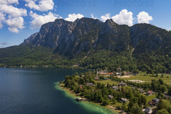
Drone image, Weißenbach am Attersee with Höllengebirge, Salzkammergut, Upper Austria, Austria
Date
13 mai 2024
Crédit
Photo12/imageBROKER/Wolfgang Weinhäupl
Notre référence
BRK26C59_289
Model release
Non
Property release
Non
Licence
Libre de droits
Format disponible
56.9Mo (5.6Mo) / 46.3cm x 30.8cm / 5464 x 3640 (300dpi)