Légende
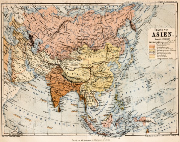
Coloured topographic map of the continent of Asia with European possessions during colonial times, colonialism, Far East, 19th century, possessions of Great Britain, Netherlands, Portugal, France, China Sea, Sea of Japan, Still Ocean, Indian Ocean, scale in British miles, scale 1, 40 million, latitude, longitude, topography, historical map from 1876
Date
27 janv. 2026
Crédit
Photo12/imageBROKER/Wolfgang Diederich
Notre référence
BRK26B81_483
Model release
Non
Property release
Non
Licence
Libre de droits
Format disponible
79.0Mo (9.8Mo) / 50.1cm x 39.5cm / 5920 x 4667 (300dpi)