Légende
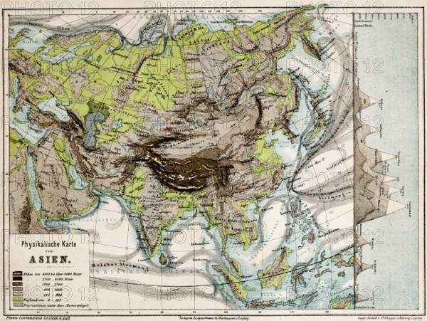
Colored physical map of the continent of Asia, altitudes, mountains, plains, lowlands, glaciers, depressions below sea level, currents, plate tectonics, latitudes, longitudes, topography, historical map from 1876
Date
27 janv. 2026
Crédit
Photo12/imageBROKER/Wolfgang Diederich
Notre référence
BRK26B81_481
Model release
Non
Property release
Non
Licence
Libre de droits
Format disponible
81.1Mo (10.2Mo) / 52.0cm x 39.1cm / 6139 x 4617 (300dpi)