Légende
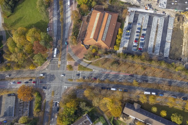
Aerial view, intersection Sandstraße and Konrad-Adenauer-Allee with red cycle path marking in Gladbeck, Ruhr area, North Rhine-Westphalia, Germany, DE, Europe, Gladbeck, aerial view, aerial photography, aerial photography, cycle path, road crossing, road traffic, overview, traffic safety, bird's eye view, birds-eyes view, overview
Date
28 oct. 2021
Crédit
Photo12/imageBROKER/Hans Blossey
Notre référence
BRK25J29_016
Model release
NA
Property release
Non
Licence
Droits gérés
Format disponible
128.1Mo (12.9Mo) / 69.4cm x 46.3cm / 8192 x 5464 (300dpi)