Légende
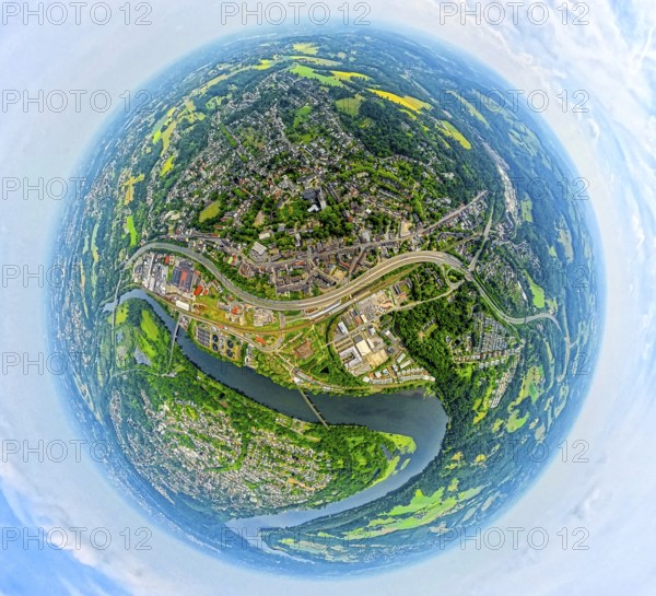
Aerial view, district Kupferdreh and motorway A44, below river Ruhr with bird sanctuary Heisinger Bogen, globe, fisheye image, 360 degree image, tiny world, little planet, fisheye image, Kupferdreh, Essen, Ruhr area, North Rhine-Westphalia, Germany
Date
30 mai 2025
Crédit
Photo12/imageBROKER/Hans Blossey
Notre référence
BRK25I78_339
Model release
Non
Property release
Non
Licence
Droits gérés
Format disponible
260,0Mo (11,3Mo) / 84,7cm x 77,0cm / 9999 x 9090 (300dpi)