Légende
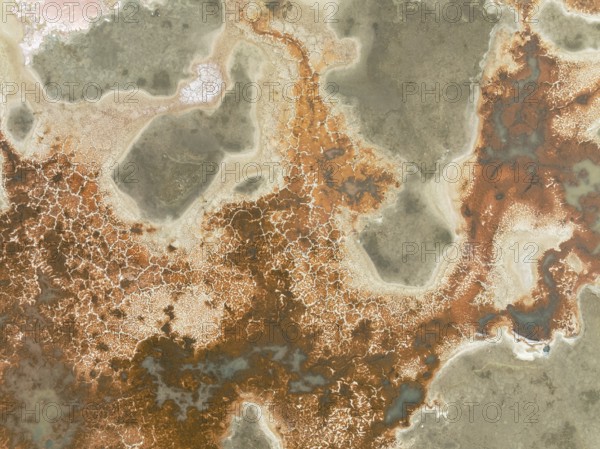
Salt marsh at the Skeleton Coast. Aerial view. Drone shot. Dorob National Park, Namibia
Date
18 sept. 2024
Crédit
Photo12/imageBROKER/Thomas Dressler
Notre référence
BRK25H94_260
Model release
NA
Property release
Non
Licence
Libre de droits
Format disponible
59.5Mo (5.4Mo) / 44.6cm x 33.4cm / 5272 x 3948 (300dpi)