Légende
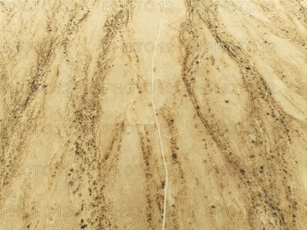
Track crossing an arid desert plain and dried-up river beds with sparse vegetation. Aerial view. Drone shot. Gondwana Canyon Park. Namibia
Date
27 sept. 2024
Crédit
Photo12/imageBROKER/Thomas Dressler
Notre référence
BRK25H63_358
Model release
NA
Property release
Non
Licence
Libre de droits
Format disponible
56.8Mo (5.4Mo) / 43.6cm x 32.6cm / 5148 x 3855 (300dpi)