Légende
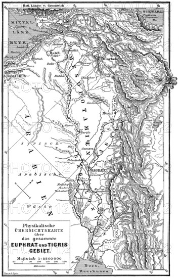
Map of Mesopotamia, 19th century
Date
05 juil. 2020
Crédit
Photo12/imageBROKER/Heinz-Dieter Falkenstein
Notre référence
BRK25F35_109
Model release
Non
Property release
Non
Licence
Droits gérés
Format disponible
101.4Mo (8.9Mo) / 40.6cm x 62.6cm / 4793 x 7398 (300dpi)