Sujet
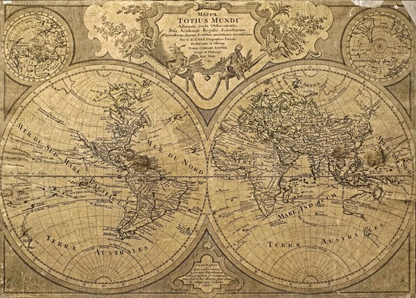
18th century world map Mappa Totius Mundi Adornata juxta Observationes by Guillaume De L'Isle
Légende
18th century world map Mappa Totius Mundi Adornata juxta Observationes by Guillaume De L'Isle, Guillaume Delisle, reedition by Tobias Conrad Lotter
Crédit
Photo12/imageBROKER/alimdi / Arterra
Notre référence
BRK23D28_235
Model release
Non
Property release
NA
Licence
Droits gérés
Format disponible
42,1Mo (3,0Mo) / 38,3cm x 27,5cm / 4527 x 3250 (300dpi)