Sujet
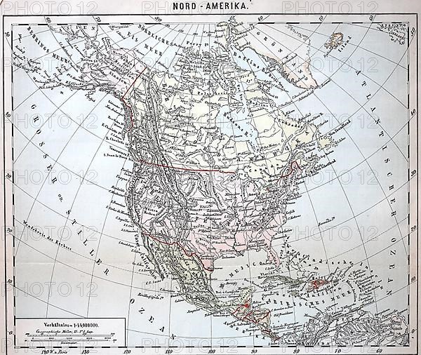
Map of North America from 1890, Southern States and Northern States
Légende
Map of North America from 1890, Southern States and Northern States, Historical, digitally restored reproduction of an original 19th century document, exact original date unknown
Date
20 juil. 2022
Crédit
Photo12/imageBROKER/Sunny Celeste
Notre référence
BRK22D76_375
Model release
NA
Property release
NA
Licence
Libre de droits
Format disponible
43,6Mo (14,5Mo) / 36,0cm x 30,3cm / 4250 x 3584 (300dpi)