Sujet
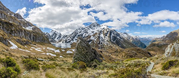
View of Route Burn Valley with hiking trail
Légende
View of Route Burn Valley with hiking trail, Lake Lake Harris, Conical Hill, Routeburn Track, Mount Aspiring National Park, Westland District, West Coast, South Island, New Zealand, Oceania
Date
09 oct. 2016
Crédit
Photo12/imageBROKER/Mara Brandl
Notre référence
BRK20A49_278
Model release
NA
Property release
NA
Licence
Libre de droits
Format disponible
79.1Mo (6.2Mo) / 67.3cm x 29.4cm / 7947 x 3477 (300dpi)