Sujet
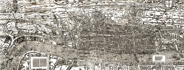
Civitas Londinium (The Agas Map) map of London.
Légende
Civitas Londinium (The Agas Map) map of London. probably the earliest proper map of London. 17th century
Date
1754
Crédit
Photo12/Ann Ronan Picture Library
Notre référence
ARP18A20_123
Licence
Droits gérés
Format disponible
27.0Mo (5.1Mo) / 42.0cm x 16.1cm / 4961 x 1904 (300dpi)