Sujet
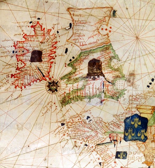
England and Ireland depicted in Jacopo Russo Map of the world
Légende
England and Ireland depicted in Jacopo Russo Map of the world 16th century circa 1528 from the 'Carte Geografiche' (vellum)
Date
16e siècle
Crédit
Photo12/Ann Ronan Picture Library
Notre référence
ARP18A03_258
Licence
Droits gérés
Format disponible
62.3Mo (3.6Mo) / 37.9cm x 41.1cm / 4478 x 4860 (300dpi)