Sujet
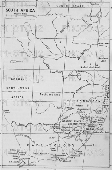
Map of South Africa during the 19th Century
Légende
Map of South Africa during the 19th Century
Date
1820
Crédit
Photo12/Ann Ronan Picture Library
Notre référence
ARP17A28_002
Licence
Droits gérés
Format disponible
60.0Mo (2.1Mo) / 31.6cm x 47.6cm / 3728 x 5626 (300dpi)